Coffee WinterABC26
If you were having coffee with me, I would welcome you to my tangle of words. Make yourself at home, put your feet up.
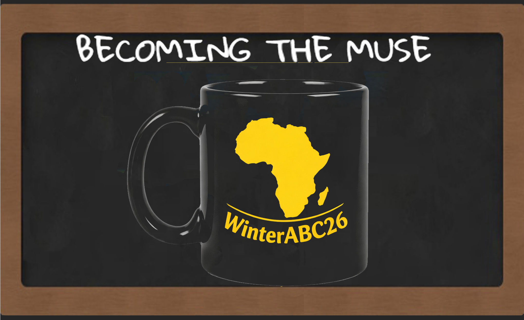
Once again, it is June, and that means it is winter this side of the world and time for the African Blogging Challenge, WinterABC. I cannot believe this is the eighth year running. It feels like it was just the other year when we were reflecting on the absence of any Afrocentric blogging challenges and decided, simply, to create our own. And now here I am, brainstorming my next twenty-two posts.
If you were having coffee with me, I would tell you that the theme for this edition is The Elephant in the Room, a clarion call to use our digital real estate to say the quiet part out loud.
One of the best things about WinterABC is (re)connecting with old and new participants, seeing how similarly our lived experiences have shaped us, and discovering our wildly different perspectives. I love how the internet makes the world borderless. We are all geometrically equidistant, a click away.
Geographically, though, we are bound by all sorts of imaginary conventions, the lines of longitude, latitude, treatises and concessions that quietly desensitise us from the truth. And if anyone refers to Africa as a country instead of the multi-cultural, multi-language behemoth that it is with fifty-five countries deep by AU count, they are simply asking for it.

Growing up, I used to imagine that the borders between countries were like distinct, solid walls you could not possibly miss. I would wonder who built them. The answer, it turns out, is people who were largely not from here. The Berlin Conference of 1884–1885 set-up the legal framework for the European colonisation and partition of Africa and notably, there were no African representatives at the table to negotiate on behalf of the continent whose future was being carved up.

If you were having coffee with me, I would tell you that every year we celebrate our independence, our sovereignty, our patriotism and yet it is, at least in part, an illusion. The borders we fiercely defend were not drawn by us. Perhaps we would be better served as one country rather than fifty-five competing fragments. As we have been warned:
“Africa, China, and India each have approximately 1.4 billion people. China is one country. India is one country. Africa is 55. That single fact explains more about why those other two civilisations have risen while Africa has remained structurally poor than any other variable in the development.”
— Professor Jeffrey Sachs
If you were having coffee with me, I would tell you it is easy to overlook the vastness of the African continent and that this is by calculated design. We are not small. We have been drawn small. The difference is not geographical; it is narrative. There are logically sound reasons why cartographers adopted the Mercator projection, yes but it remains yet another example of how decisions not made in our interest were made for us, and the world simply accepted them.
Almost 456 years later, in August of 2025, the African Union finally began an active push for the adoption of a world map showing the continent’s true size. It is not just a map. It is identity. It is our place in the world. Because history has consistently shown that we are never at the table.
Instead, we are bickering amongst ourselves about which country has developed the most since independence, who has the strongest currency, who pretends the best at democracy and other comfortable lies we have mapped for ourselves.
And on that bombshell, hello, WinterABC26.
~B
Leave a Reply